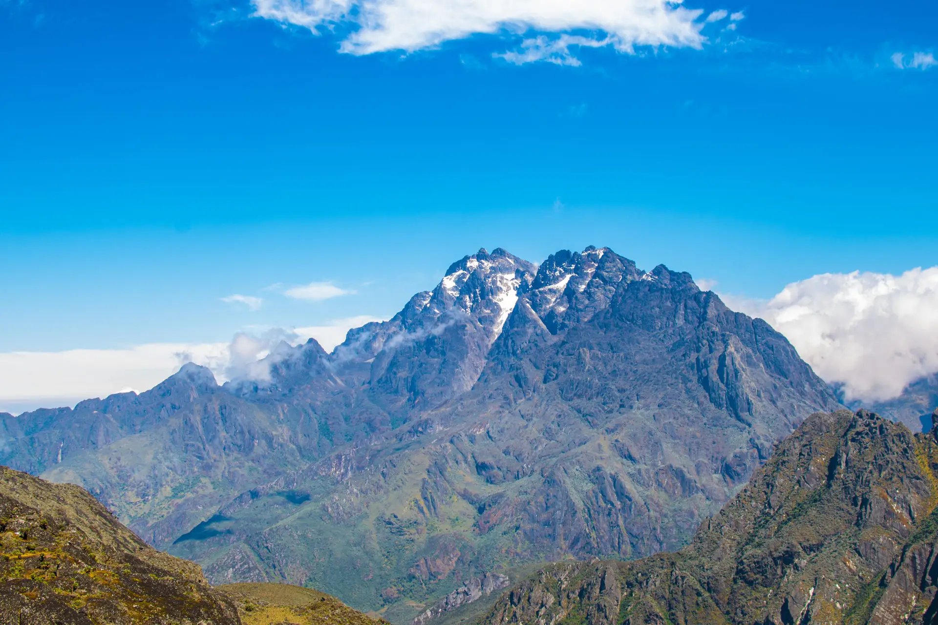
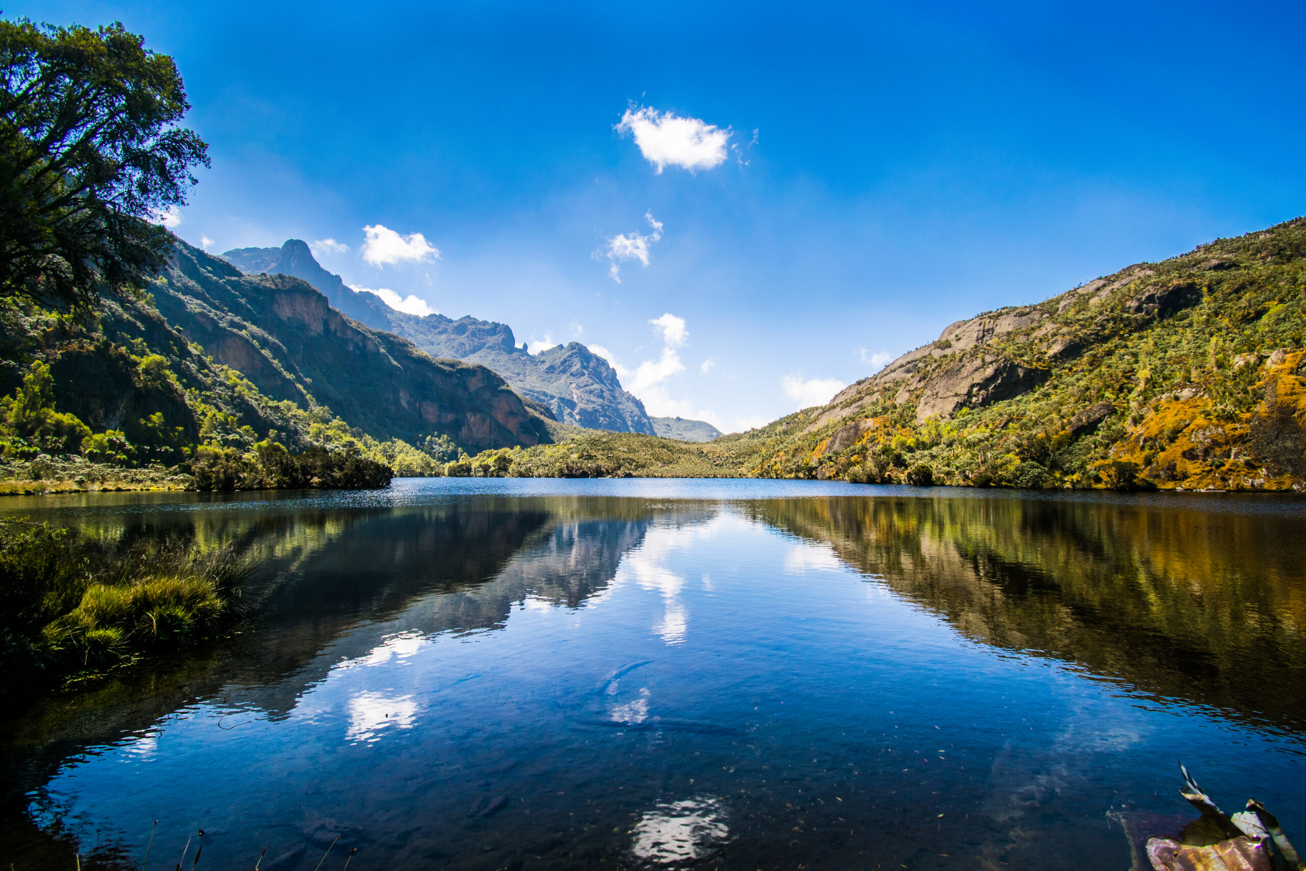
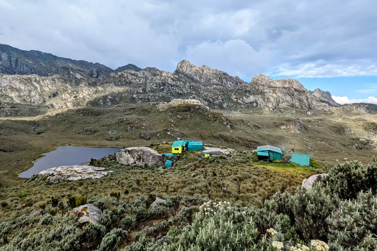
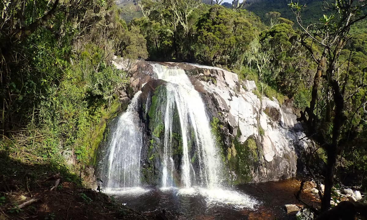
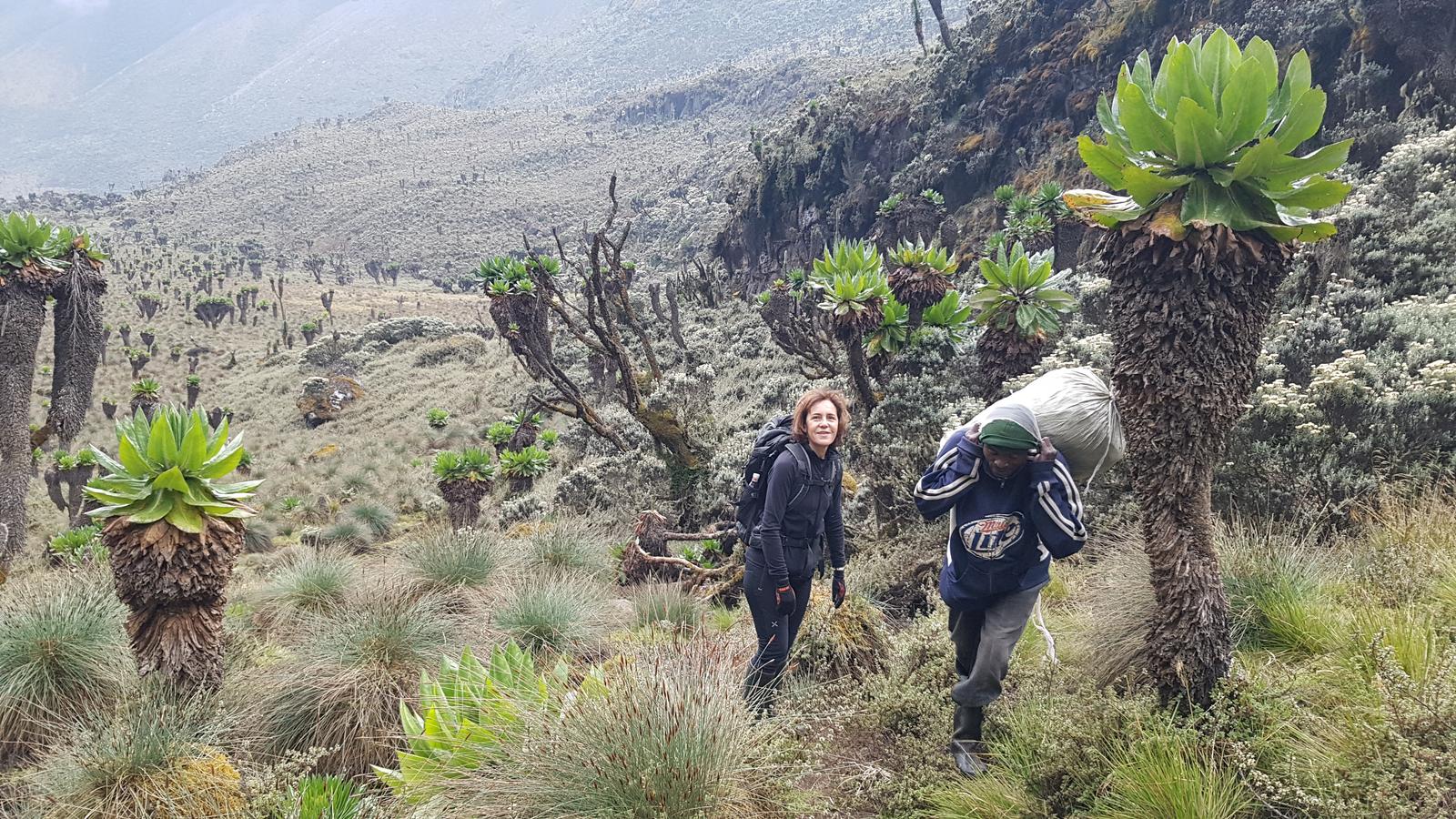
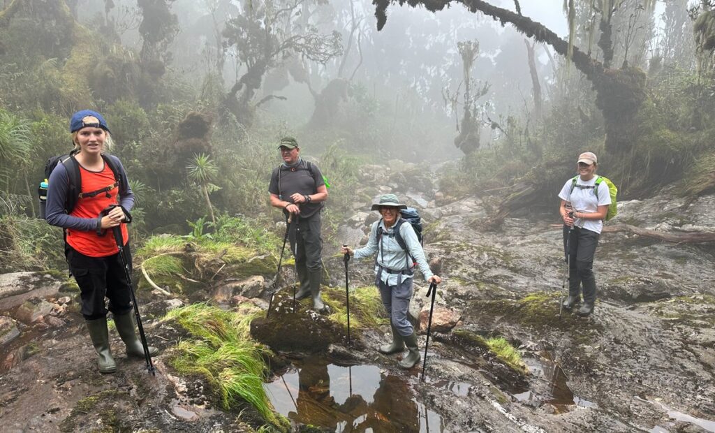
The Kilembe Trail is the southern way to go to Mount Stanley. Unlike other trails, it takes you through valleys, waterfalls, moorlands, and glacier ridges that most people don’t get to see. This hike is ideal for experienced hikers who want to reach the top of Cheptegei, a peak that isn’t too difficult but is quite rewarding. They will also get to see the untouched beauty of Uganda’s Mountains of the Moon.
8 Days Rwenzori Trekking to Cheptegei Peak via Kilembe Trail
Embark on an 8-day Rwenzori trek to Cheptegei Peak (4,907 m) via the scenic Kilembe Trail. Experience Uganda’s most pristine alpine landscapes with expert guides. Take the Untouched Trail of the Moon Mountains to the top of Cheptegei Peak in Uganda.
This 8-day trek via the Kilembe Trail will take you to Cheptegei Peak (4,907 m) in the Rwenzori Mountains, where you will feel like you are in another world. Rwenzori Trekking Services runs this route, which takes you through various habitats and high-altitude environments in a raw, immersive, and less-crowded way.
The Kilembe Trail, also known as the Southern Circuit, is the most scenic, diverse, and well-developed trail in the Rwenzori Mountains. Managed by Rwenzori Trekking Services (RTS), it offers a modern trekking experience with cleaner huts, better infrastructure, and a smoother ascent profile than the historic Central Circuit.
This trail begins in Kilembe, Kasese, on the foothills of the Rwenzori (1,450 m), and ascends through five distinct vegetation zones to reach the glaciated high peaks: Mt. Stanley, Mt. Baker, and Weismann Peak. Known for its stunning landscapes, crystal lakes, hanging valleys, dramatic bogs, rugged ridges, and snow-capped summits, the Kilembe Trail is widely regarded as the best route for reaching Margherita Peak (5,109 m).
Trek Highlights: 8 Days Rwenzori Trekking to Cheptegei Peak.
Day 1: Kilembe (1,450m) to Sine Camp (2,596m)
Day 2: Sine Camp to Mutinda Camp (3,588m)
Day 3: Mutinda to Bugata Camp (4,100m)
Day 4: Bugata to Hunwick’s Camp (3,974m)
Day 5: Hunwick’s to Margherita Camp (4,485m)
Day 6: Summit Cheptegei Peak (4,907m)
Day 7: Hunwick’s to Kiharo Camp (3,430m)
Day 8: Kiharo to Base Camp (1,450m)
Detailed Itinerary: 8 Days Rwenzori Trekking to Cheptegei Peak (Day by Day)
Day 1: Kilembe (1,450m) to Sine Camp (2,596m)
As we begin our Cheptegei Adventure, we go up the valley floor, surrounded by the spectacular trees of the Afro-Montane Forest Zone. There are many birds along this mild climb, and you may even see some blue monkeys playing in the bush. Every now and again, trekkers may be delighted to see 15-20 black and white Colobus monkeys gracefully swaying among the treetops. You might hear a distant chimpanzee cry or see the rare L’Hoest monkey, which has a unique position in the Bukonzo tradition and is protected by King Omusinga’s honor.
The breathtaking Afro-Montane forest surrounds Sine Camp, which is located at 2,596 meters and offers exquisite wooden huts nestled among the tall trees on a very narrow slope. Enock Falls is only around 150 meters from the campsite and is surrounded by lush foliage and hanging vines. Absolutely gorgeous.
Day 2: Sine Camp to Mutinda Camp (3,588m)
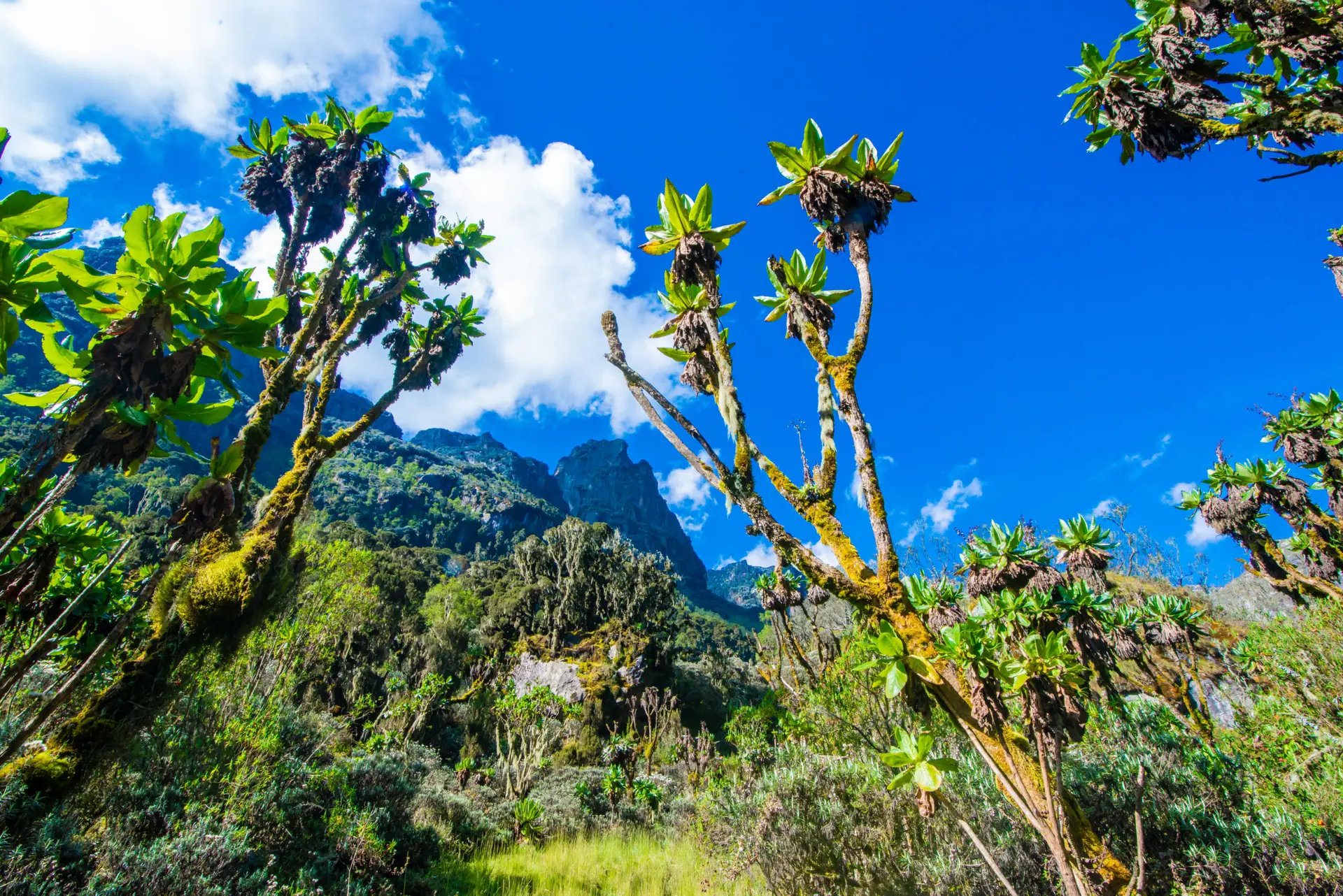
Around 8:30 a.m., the trail enters the Bamboo-Mimulopsis Zone, which is a steep incline with high stairs. The rainy season makes the bamboo zone sticky and muddy, which slows things considerably. Kalalama Camp is located at 3,147 meters in Heather-Rapanea. You can rest and have tea or coffee before heading to Mutinda Camp. The scenery and mood are spectacular as you ascend 551 meters and 1.8 kilometers. The trail crosses many tiny rivers and passes near moss-covered waterfalls as it descends from a ridge top and then climbs back up. Step by step, you ascend the bank of a spectacular mossy river, which cascades over boulders beneath towering giant heather trees with luxuriant moss and old man beards (Usnea lichen) on their trunks.
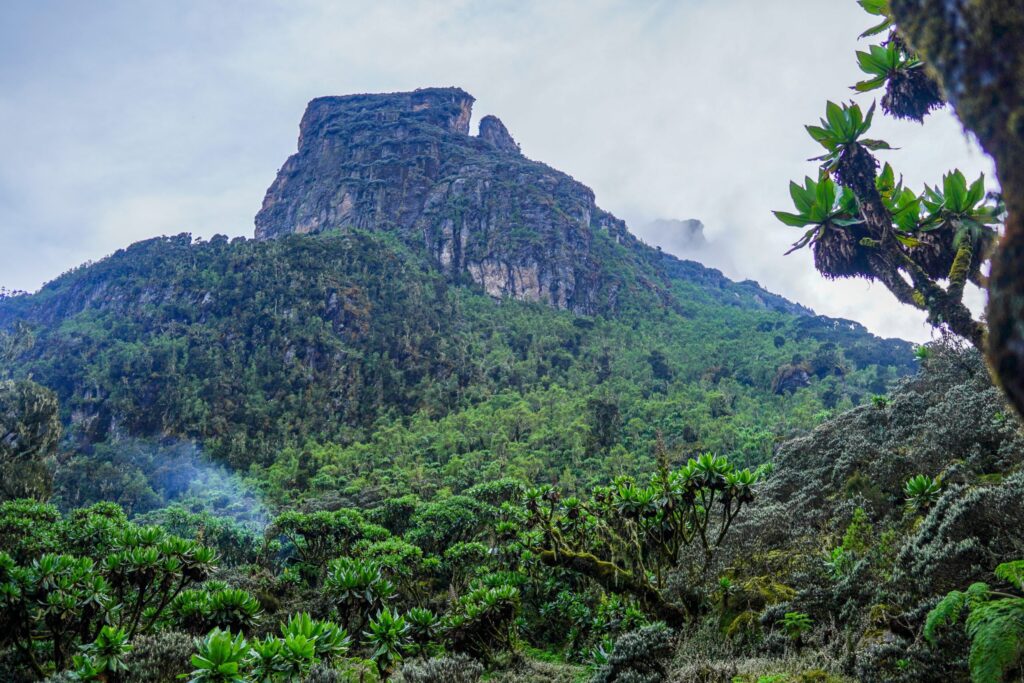
Mutinda Lookout
The road winds through a maze of twists and turns as it ascends the deep valley, which is home to beautiful flora. Giant heather plants add to the valley’s misty beauty. Standing on moss-covered rocks at 3,925 meters, you can view the Rwenzori Mountain peaks, Kasese town, and Lake George. The Mutinda Lookout climb takes an hour and a half, but the vistas make it worthwhile. Acclimatizing on Mutinda, at 3,975 meters, may lower the risk of high altitude sickness for mountaineers ascending Margherita or other large peaks.
Day 3: Mutinda to Bugata Camp (4,100m)
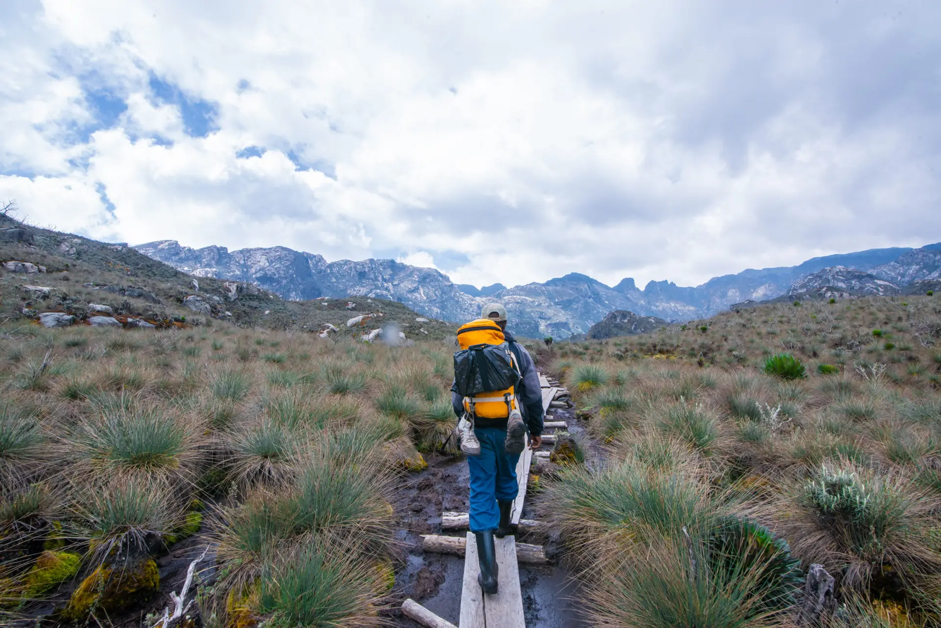
In the rainy season, the route to Bugata Camp can become quite marshy; however, with the right skills and advice from our professional guides, one can maneuver through tussocks to facilitate passage. As you ascend a steep section toward the Namusangi Valley (3,840 meters), you will encounter vertical waterfalls and, upon looking back, be treated to stunning views of the Mutinda Peaks.
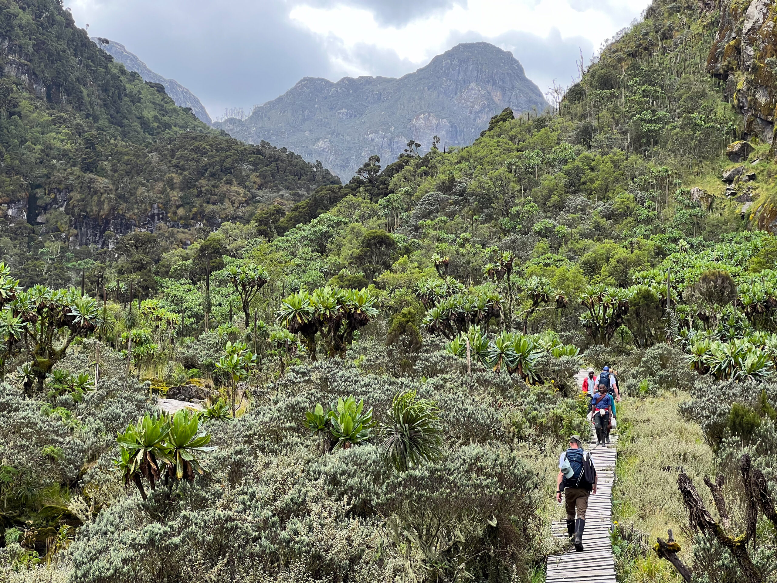
As you proceed, you will encounter tussock grass, everlasting flowers, and an abundance of giant lobelias while traversing the Mutinda Valley. The path steadily rises to Bugata Camp at an elevation of 4,100 meters, traversing the vast Namusangi Valley, noted for its various inclines and declines.
Day 4: Bugata to Hunwick’s Camp (3,974m)
Hike to Hunwick’s Camp via Bamwanjarra Pass. After leaving Bugata Camp, you will cross a ridge before descending somewhat, followed by an ascent to Bamwanjarra Pass at 4,450 meters, where a hut awaits in case of bad weather. On a clear day, the pass provides spectacular views of the three major peaks. The trail travels across the valley, following the margins of bogs and dense evergreen vegetation such as moss, giant groundsel, and lobelia. This spot may be the best in the Rwenzori for seeing the Malachite Sunbird, which feeds on the profuse lobelia blooms and acts as a designated nesting place. Further on, there are some steep portions that lead to a gradual ascent over a ridge to Hunwick’s Camp, which is perched at the top of a deep valley with spectacular views of Mt. Stanley, Mt. Baker, Weismann’s Peak, and McConnell’s Prong.
Day 5: Hunwick’s to Margherita Camp (4,485m)
Hunwick’s Camp descends and crosses the valley floor to Lake Kitandara, a stunning site with deep water and lush flora. Nestled between some massive boulders, Margherita Camp, at 4,485 meters, enjoys protection from the harsh winds. To get there, first ascend Scott Elliott’s Pass, then continue up the ridge. When the Duke of Abruzzi climbed Margherita Peak in 1906, he camped just here.
Day 6: Summit Cheptegei Peak (4,907m)
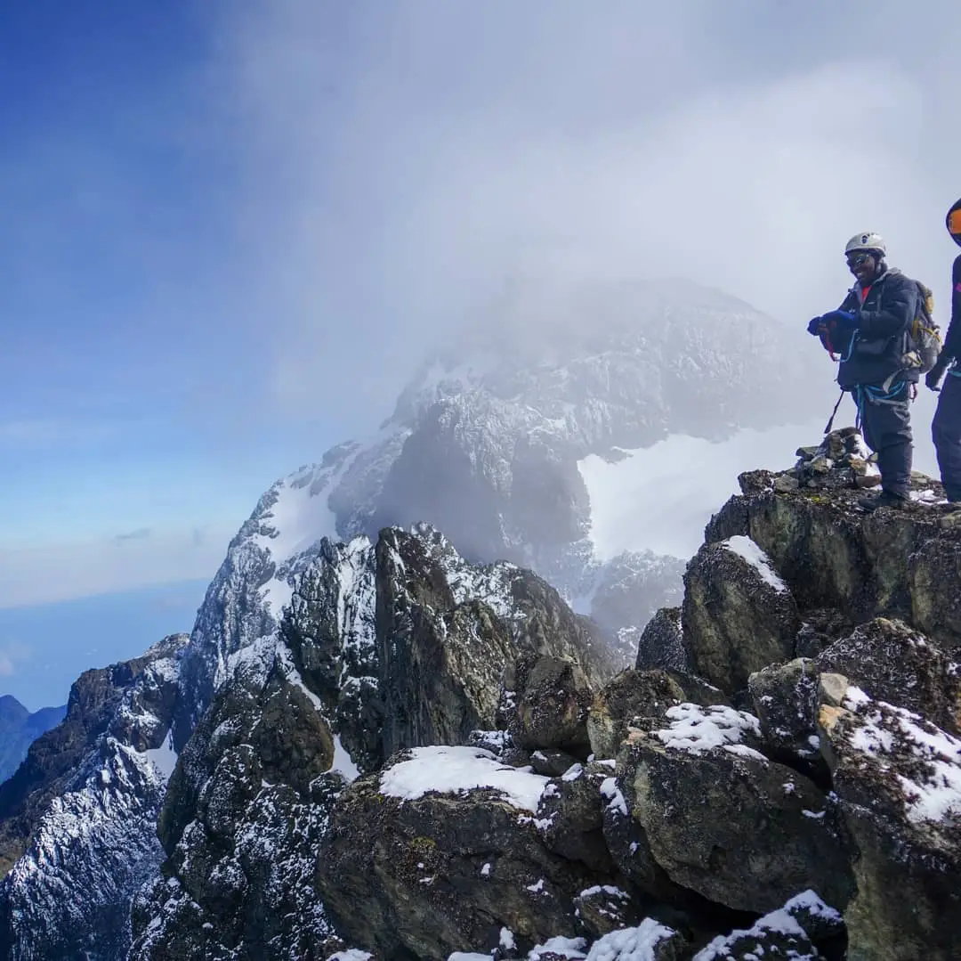
We start our climb at the Stanley Glacier’s base and keep going up until we reach its peak. From the top of Cheptegei peak, which is 4907 meters high, you can see parts of Alexandra and many villages on the Congo side. You can also see Mount Speke, the Bujuku Valley, the Portal Peaks, some peaks of Elena, a lake in the Congo, and a portal.
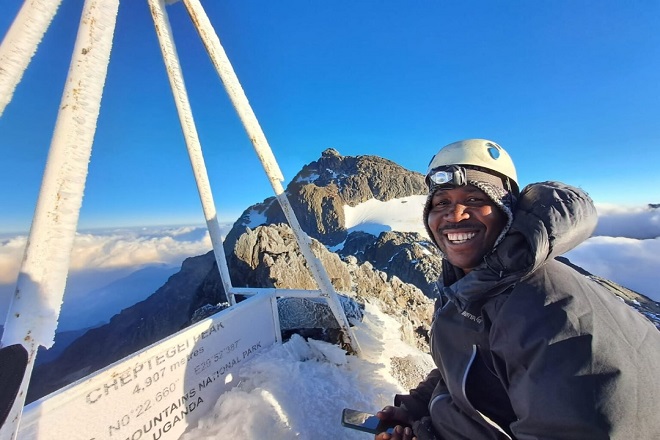
Cheptegei Peak
For safety reasons, we bring ropes to this peak, even though it’s not technically hard and there isn’t a lot of rock climbing. When you get to the top, which is 4,905 meters high, you can go straight down to Hunwick’s Camp, which is 3,874 meters high.
Day 7: Hunwick’s to Kiharo Camp (3,430m)
We always start the day by walking from Hunwick’s Camp along a ridge to McConnell’s Prong. From there, you can see the three peaks and Scott Elliott’s Pass in their full magnificence. We eventually arrive at Oliver’s Pass, which stands at 4,505 meters. The crest of Oliver’s Pass is three kilometers from Hunwick’s Camp. After a brief detour around Weismann’s Peak, hikers arrive at the confluence of the Nyamwamba and Kilembe rivers; from there, the river flows via Kasese and Kilembe to Lake George in Queen Elizabeth National Park.
As you descend the valley, you’ll traverse each bog by ascending a seemingly random ridge of stones and earth. This ridge was actually pushed there by glaciers that were gradually melting and eventually stopped flowing. They left a heap of boulders and debris where the glacier had once been.
Day 8: Kiharo to Base Camp (1,450m)
Descend through the spectacular Nyamwamba Valley with its waterfalls, deep forest, and abundant wildlife. Arrive back at your hotel, reflecting on your epic adventure.
What’s Included in the Hiking Fees
- Professional mountain guides
- Porters
- All meals on the mountain
- Accommodation in wooden mountain huts
- Technical summit equipment (Ropes, ice axes, helmets, harnesses)
- Free use of rubber boots
Not Included in the Package Fees:
- Tips & gratuities
- Personal expenses
- Medivac and Evacuation insurance
- Accommodation before/after the trek.
- Transfers to/from the trailhead (can be arranged upon request)
ANY QUESTIONS?
If you need any clarification about a Rwenzori trek, contact one of our trekking experts to start planning your journey today.
A 10% percentage of your safari proceeds goes to supporting the local Bakonjo Communities (orphans, schools & homes)
The Rwenzori Travel Guide.
- Rwenzori Mountains National Park
- Getting to Rwenzori
- Best Time to Visit the Rwenzori’s
- Things to do/Activities in the Rwenzori Mountains
- Things to See/Attractions in the Rwenzori Mountains
- Rwenzori Trekking Routes
- Central Circuit Trail
- Kilembe Trail
- Bukulungu Trail
- Rwenzori Trekking Safaris
- The Cost of Climbing the Rwenzoris
- Accommodations inside & outside the Rwenzori Mountains.
Rwenzori Trekking Tours 2025/26
- Mount Speke & Mount Stanley Trek – Rwenzori Expedition
- 2-Day Rwenzori Mountains Hike to Lake Mahoma
- 5 Days Uganda Gorilla & Wildlife Safari.
- 2-Day Rwenzori Trek to Sine Camp
- Rwenzori & Karisimbi Trekking
- 4-Day Rwenzori Waterfalls Hike – Kilembe Trail
- 6 Days Rwenzori Mountaineering
- 10 Days Rwenzori Tetra, Bernard, Agart Trek
- 5 Days Climbing Magheritah Peak
- Climbing Mount Elgon
- Rwenzori Kilembe Trek (10 Days)
- 16 Days Uganda Gorillas & Rwenzori Climbing
- 6-Day Rwenzori Portal Peaks Hike.
- 18 Days Rwenzori Trek (8 Peaks)
- 5-Day Mount Speke Hike
- 6-Days Wiseman Trekking Trip
- 7 Days Rwenzori Mountaineering Safari (Central Circuit)
- 5-Day Rwenzori Hike to Bujjuku
- 8-Day Rwenzori Trekking Expedition.
- 7-Day Mount Emin Hiking Itinerary
- 12 Days Rwenzori & Gorilla Trekking
- Rwenzori Hike, Primates Trek, and Big Five Safari
- Rwenzori 5-Day Trek to Edward Peak | Mount Baker & Freshfield Pass Trek
- 7-Day Mount Gessi Trek (4,798m)
- 7 Days of Rwenzori Trekking to Mount Baker & Weismann Peak.
- 3-Day Mahoma Loop Hike
What to Pack:
-
Warm sleeping bag (0–10°C rating)
-
Rain gear (jacket & pants)
-
Sturdy hiking boots
-
Thermal layers
-
Refillable water bottle
-
Trekking poles
-
Headlamp
-
Snacks & energy bars
- Camera, power bank

